


Tonelagee Mountain and Lough Ouler
Tonelagee Mountain sits at an elevation of 817m. Lough Ouler is at the base of Tonelaglee, which provides the BEST viewing point over the famous love heart lake. The best views of Lough Ouler, Wicklow’s love heart lake are from the top of Tonelagee.
Key information about the hike
- Park here at Turlough hill
- Allow 2-3 hours up and back
- No clear markers but the path is very well defined
- Difficulty- 6/10
- Highlight- Wicklow landscape and Lough Ouler love heart-shaped lake
- Hiking gear essential
Parking for Tonelagee & Lough Ouler Walk
We parked our car in Turlough hill car park here. The car park is large with lots of spaces. It is quite hidden away from the road, so don’t leave anything valuable visible in your car.

Tonelagee from the Turlough hill car park
The picture above shows the route that we took to hike to Wicklow’s love heart lake. We start the hike by walking over the sleepers in the car park and on the small viewing point. After a small 360 degrees twirl, we turn back toward the mountain and walk across the road.


Just as we step off the road, we need to cross a large drain. We just looked for everyone else’s crossing location and jumped across. Make sure to find the correct path. We spent some time, initially trying to find the footpath at the start. We have walked this path before and only found the path on the descent. This made the hike much harder than it should have been. Sometimes it is not really visible, due to the flowering heather but it is definitely worth finding.


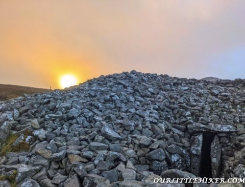
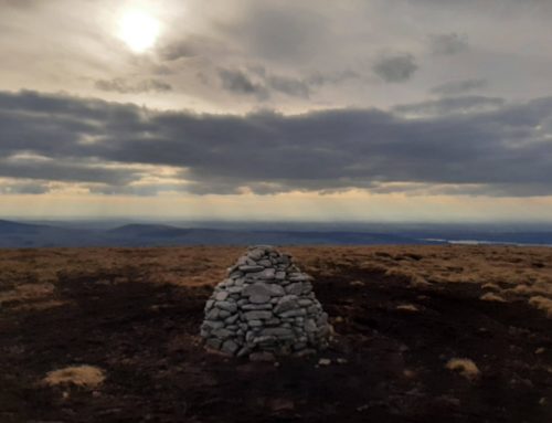
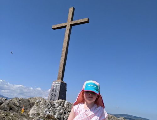
Tonelagee Mountain
Once we are on the path, we cover ground very quickly and within 1 hour we reach the summit. There are no markers on the trail but the path is very prominent, when you identify it. Be prepared and bring navigation equipment. On the top part of the mountain, the path is not as defined so be sure to stay orientated.


The hike up Tonelagee is not too steep or overly hard but it is easy to stray off course. Keep an eye on your OS map, we briefly lost the trail while descending. We consulted our Maps and found the trail 10 meters to the side.


Tonelagee mountain and Lough Ouler Map

Tonelagee lake (Wicklow’s love Heart Lake)
We walked over toward Stoney Top to get views of Wicklow’s love heart lake. The lake is not visible from the summit of Tonelagee. When at the Cairn of Tonelagee, walk to the left hand side and follow the path until you see the famous Wicklow lake.


Caution— There are large cliffs near the viewing point of the lake be careful if there is a fog or if you have kids with you.
Time to hike to Lough Ouler Wicklow Love heart Lake
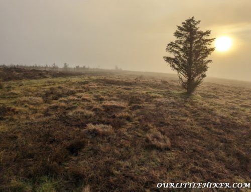
It took us 1 hour to ascend to the top of Tonelagee from the Turlough hill car park. The hike started on a foggy day but when we reached the top the fog started to lift, our views weren’t great. It is required to walk down to the rear of the mountain to get a view of the lake as it’s not visible from the summit.
Overall, allow 2 hours 30 minutes on the mountain to view Wicklows Love lake heart.
Optional Hikes after hiking Tonelagee

We have previously hiked St Kevin’s way and Turlough Hill which is the perfect starting point to walk into Glendalough. You could also continue your mountain hikes by walking onto Moanbane/ Silsean.