

Our May 2018 Bank Holiday Monday morning, consisted of our alarm clocks going off at 5am and a 2-hour 20-minute drive to County Longford.
Our goal was to climb County Longford, Roscommon, Fermanagh and Cavan highest points. County Cavan and Fermanagh share the same high point so this one will cut down on the driving. The hardest part of hiking every high point in every county of Ireland isn’t the walking or climbing up a mountain with a baby on your back, but it’s the driving between the mountains. We figured if the mountain is within 3 hours driving distance of our house we could drive to it, climb the mountain and drive home the same day. Today’s hiking will be tough, as there is roughly a 1-hour drive from each county high point. This means that we are over 3 hours drive home after we finish climbing our last mountain, if everything goes to plan, fingers crossed.
Our first mountain to hike is Cornhill or Carn Clonhugh and is possibly the easiest mountain of all 32 peaks in Ireland.
Cornhill Longfords highest point
We drove up and parked our car outside a lane to the summit of Cornhill, which was closed off by a metal barrier. We parked our car here to start our hike.
The barrier stops cars driving up the tarmac lane which is used to access the television mast. After driving over 2 hours, it was nice for all of us to get out of the car to stretch the legs.


We could see the Television antenna straight away from the barrier, so we knew this was going to be a very easy and quick county high point.
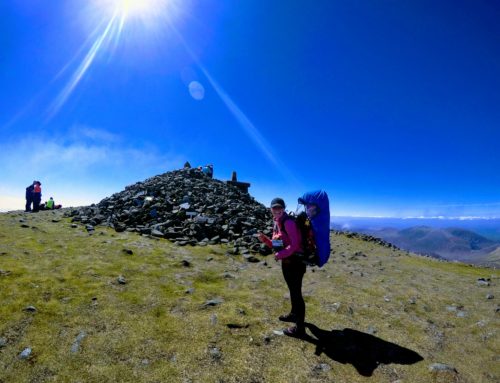
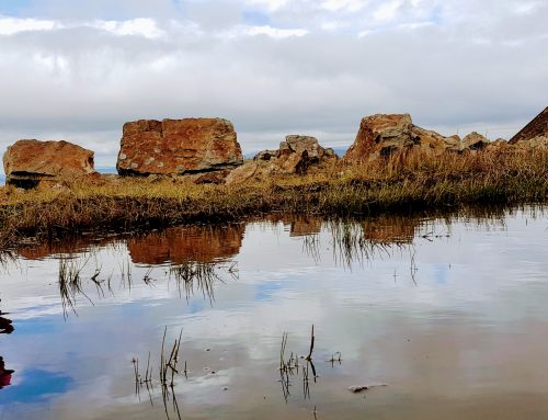
Starting our walk to the County Highpoint
The tarmac lane leads the whole way to the top of the high point so this could be walked in trainers if the weather was good.
On the way up to the high point, Ourlittlehiker has a toy camera and started to replicate her Daddy and kept shouting “Cheeeese, Cheeeese” and pointing her little toy camera at us, we all had a good laugh at it. It also broke the slightly dull viewless walk up to the summit.

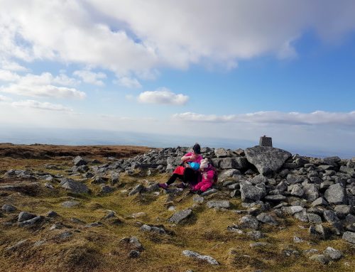
After about 200m we walked around a corner and we could see a palisade fence around the tv antenna. We walked to the right-hand side of the fence and we could see the Longford county high point up on top of a raised bank just past the fencing.


After been up on a very busy high point the day previous (Slieve Donard), we realised that it was nice to be back hiking on our own again, as we could play around at the County high point instead of just taking one picture and leaving, as there was a queue on yesterdays high point.
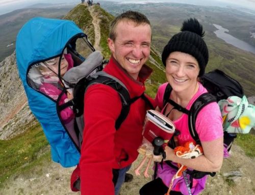
High Point Dance
Gina decided to do a small dance on Longford Cornhill high point to celebrate our third high point of the bank holiday weekend, Ourlittlehiker loved all the dancing.


The verdict on Cornhill, Longfords highest point
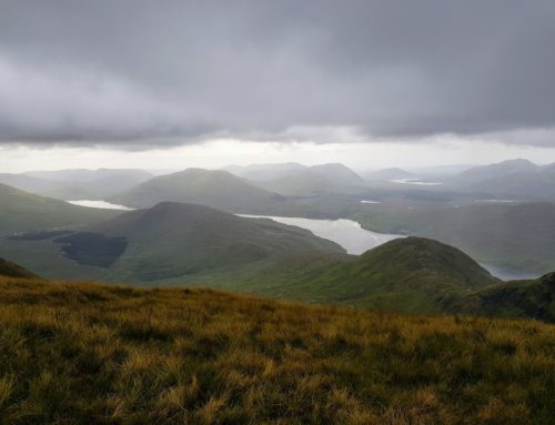
Cornhill is only 278m high and is one of the easiest and maybe, as short as Cupidstown in Kildare (another very easy high point). There was not much of a view from the top of Cornhill, as the woodland trees are much higher than our eye level.
It only took us 10 minutes to reach the summit of Cornhill after leaving the car.
Which County High Point after Longford?
The normal route most people take after hiking Cornhill, is to go and hike Westmeath and Meath highest points but we already hiked these throughout the winter months, so we are now driving over to Roscommon to hike Seltannasaggart South East Slope. This CHP is slightly over 1 hour of a drive away.