


About Seltannasaggart Roscommon highest point
Seltannasaggart East Slope is the highest point in County Roscommon. Seltannasaggart sits at an elevation of 428m and is part of the Arigna mountain range.
Our Journey to Seltannasaggart
This is our second high point to hike in the one day. The first high point was Corn Hill, we then drove to Seltannasaggart to hike our second county high point. The highest point in Roscommon is a little tricky to find, but there is a road network to walk on but it is in the middle of a wind farm. The county high point is marked with a small pile of stones but it is still hard to see.
We drove an hour from Corn Hill to Seltannasaggart, until we reached the bottom of a mining/windfarm road which had a signpost for “The Miners Way” and an old map of the route. We parked our car here on the side of the road and started our walk.

Hiking to Seltannasaggart East Slope, Roscommon high point
We started walking on an old quarry road which had a good walking surface but we didn’t fancy driving our car on it. We walked up the hill towards all the wind turbines. Seltannasaggart is certainly a different type of County high point, then all the rest. It made a pleasant change, to be walking in a different type of the landscape, even though many people would consider the area ruined, which it definitely is.


We were walking on a gradual climb up a hill, toward the end of the road. The road seemed to be dug in between two banks of mud dumped on either side of the road. We eventually came out into the middle of the wind farm. We kept following the road straight until we came to a T junction.
We turn right here at the T junction, we walk alongside a small man-made lake on out LHS. We came to another Y junction and follow the signs for T6-T8, we turned right here.


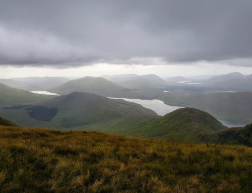
The road sweeps around a bend, we continue walking around the corner, while always keeping a keen eye out for the high point, we knew we were close.
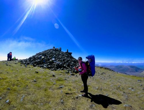
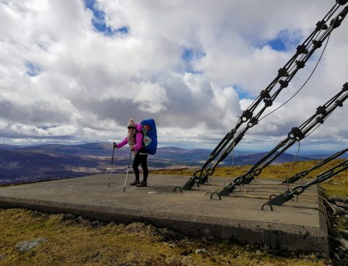
Roscommon County High Point
We could see a small pile of stone in the distance, off the road to the RHS. We walked off the road toward the pile of stones. We checked our Viewranger app to ensure that we were walking in the right direction.


Typically, Ourlittlehiker would fall asleep just as we reached the high point. We were very cautious, as we didn’t want to disturb her, as she was due a good sleep and all the hikes that we have planned are short, so she won’t be able to get a long sleep in the car while we are driving.


We quietly walked back down toward the car, trying to let her rest in her backpack. When we reached the car, we quietly took the backpack off and let it rest on the ground. Thankfully she remained asleep, so we took out all the picnic gear and had a quick a bite to eat while she slept happily in her bag.
The verdict on Seltannasaggart East Slope, Roscommon’s highest point
Seltannasaggart East Slope is not one of the County high points that you would be super proud to have summited. It more or less felt like a Sunday walk but through a quarry or wind farm. We did enjoy the walk, it was nice and easy with a big variety of different views.
Which County High Point next?
We leave Seltannasaggart East Slope and drive 45 minutes to Cuilcagh Mountain, Fermanagh and Cavan’s highest point. This will be our hardest and longest County high point of the day. When we hike Cuilcagh, we will have summited 4 highpoints in the one day.