


Bray Head Cross Walk
Bray head cross sits at an elevation of 190m above sea level. The cross was erected in 1950 during the holy year. The walk to the summit of the cross takes between 30-40 minutes depending on which route you take.
Bray Head Walk Map

The blue route is the main route to walk to the cross on Bray head. You should be able to walk to the summit on the blue route in 30-40 minutes. In wet conditions, the blue route is very slippery and you should use the red routes steps to avoid any potential slips or falls. The red route passes the old cable car, which is definitely worth a visit. Allow another 15 minutes if you walk the red route.
Bray Head & Greystones cliff walk Free parking
The most direct route to walk to the summit of Bray head Cross is from the free car park here. Parking at the promenade is also possible but you will have to pay for parking at the promenade.


Bray Head Cross- Key information
- Follow the green arrowed signs
- Allow 40 minutes – 1 hour up and back
- 2km up and back
- Very slippy in sections (if wet)
- Hiking boots required
- Optional step section but it is longer
- Additional walk to Bray head cairn, if a longer walk is required
- 6 out of 10 for views
Bray head walk- Starting point/Parking
We started our walk in the free car park here. We walked to the Bray Cross during the week and the car park was nearly full. We expect that this is a very busy walk and an early start will be required on the weekend if you want to use the free car park. Additional parking is available at the seafront but it is not free.


We walk out of the car park and walk on the coastal trail for 10 meters until we see a path leading up the hill through a gate in the wall. The surface here is concrete, we follow this path up the hill.
Walking Bray head trail
Continue on the concrete path until it stops. The main path turns to mud after 100 meters from the entrance. From this point, the path becomes very rocky, slippery and steep. The ground conditions become very dangerous in wet weather. Bring walking poles and good boots to help with this.


The trail meets a small stream (winter only), which makes the walk uphill even harder and slipper. The trail splits but both trails end up in the same location. We followed the drier path to help prevent slipping and falling.
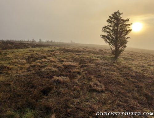
We eventually walk into a drier section of the path and we can see the end of the woodland and gorse bushes in the distance. This section is more exposed but we eventually start getting views of the surrounding areas.


This section of the Bray head cross walk has larger stones and is steep but it is much safer and has fewer chances of a slip or fall. The path cuts through the Gorse bushes, which are quite spikey but they do provide a lovely yellow and orange coverage to the hillside.


We reach a very small patch of trees. We take a small break here admiring the stunning Wicklow coastline.
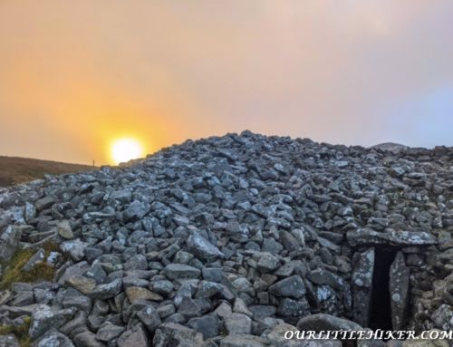
We eventually reach the base of the stone hill where the cross is erected upon. We walk to the right slightly following the trail and walking up between the two stone mounds.


Bray Head Cross walk time
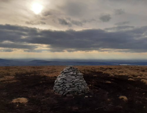
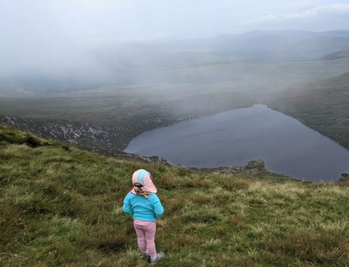
The top of the Bray Head Cross hike provides stunning views across the sea and Bray seafront. The walk is not too physically hard but it is very slippy in a couple of sections near the start (when wet). Allow 40-60 minutes up and back. A great walk with beautiful views of the summit.


Bray Head walk distance
The distance to Bray head cross is only 1 km to the summit and 1 km descent. Bray head cliff walk is a 7km walk.
Is Bray Head a hard walk?
The walk is 190m climb up a rough path. Good walking boots are definitely required in wet conditions. It is a moderate climb but very rewarding. Allow 60 minutes to hike it.
Additional Bray head walks
(Optional) An alternative walk is available to avoid the slippy sections. It also passes the old Bray cable car and the ruins of an old church. The walk is slightly longer, but definitely safer.


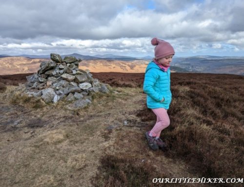
Additional walks- Bray Head
If you are not too exhausted after the walk to Bray head cross you can walk to Bray’s head trig point afterwards. Bray head has a trig point and is an additional 30 minutes walk. The walk continues after the Bray head cross. Follow the path towards Greystones going through the metal gate and following the wide path the whole way to the trig point.


The trail walks around stone outcrops and provides great views of the coastline. At present, the Bray to Greystones walk is closed due to a landslide. This walk provides a great alternative route to the cliff walk.
Bray Head loop walk Map
Wicklow County Council has a map (below) on their Twitter page showing the alternative route loop trails which include the cliff walk.
