

Summary of Knockroe Hike
Knockroe Blackstairs Mountains/ Mount Leinster Carlow
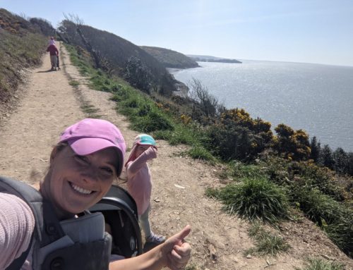
Our little family hike on Knockroe in County Carlow which borders County Wexford and the Blackstairs mountains. The mountain sits at a height of 540m and is overshadowed by its neighbour Mount Leinster. The hike can be started from Scullogue gap car park or from Mount Leinster/ the nine stones. The hike up Knokroe from Scullogue gap is 4km out and 4km back- 8km in total.


Knockroe Bombing History
To give a very brief history of the bombing event. In 1941, a German bomber dropped 8 bombs at Knockroe with the third bomb hitting the Shannon Family farmhouse and killing 3 members of the family. Additional information can be found here and here.
Parking to hike Knockroe
This guide will detail how to hike Knockroe from the Blackstairs/ Scullogue gap side of the mountain. It is also possible to park at the 9 stones and hike over Mount Leinster and then onto Knockroe. The section of the hike is done on the Blackstairs mountains challenge.
Parking at Scullogue gap is done in two places “Scullogue Gap car park” and “Shannon’s lane parking”.


The hike starts at the bottom of a Shannons lane. The Eircode of the farmer’s house at the bottom of the lane is possibly the easiest way to find the parking/starting point. The Eircode of the farmer’s house is R95A5X2. There is enough space in both places to park 4-5 cars at each location.
Knockroe Hike – Blackstairs mountains
We started the hike at the sign of the 1941 bombing. Initially, we felt we were walking up a private lane but the lane is a trail to Knockroe.
The hike to the summit of Knockroe is a steady climb to the top. The hike is a nice quiet, safe hike. The cottage that was bombed in 1941 is 300m on the right-hand side.


We eventually reach a pedestrian gate and start gaining in height. We walked sandwiched between two stone walls and the Blackstairs mountains start to become visible behind us the higher we walk.
At the start of the forest, we reach another gate. After the gate, we are greeted with two very old abandoned stone cottages. Ourlittlehiker cannot understand why these houses have no roofs and why sheep are living in the house :)


After the forest, the stone walls disappear but the trail is still very prominent. We continue to follow the trail and now we can see mount Leinster in front of us.
Between the base of Mount Leinster and Knockroe, the trail up Knockroe starts to circle around the base slightly but then zig-zags to our left-hand side gaining height upward toward the summit.


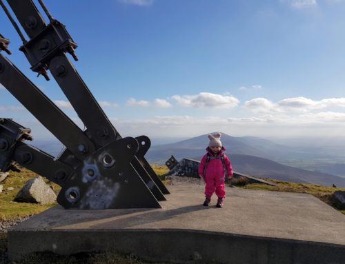
Summit of Knockroe
At the summit of Knockroe, there is a ruin of an old house/building. We briefly had a quick look around but continued our hike down to the Holy cross on the other side of the hill.
We followed the trial already warn into the top of the hill downhill toward the cross.


